


Why Environmental Teams Rely on Topographical Maps
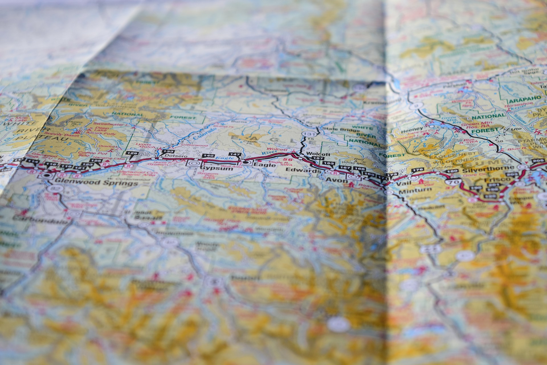
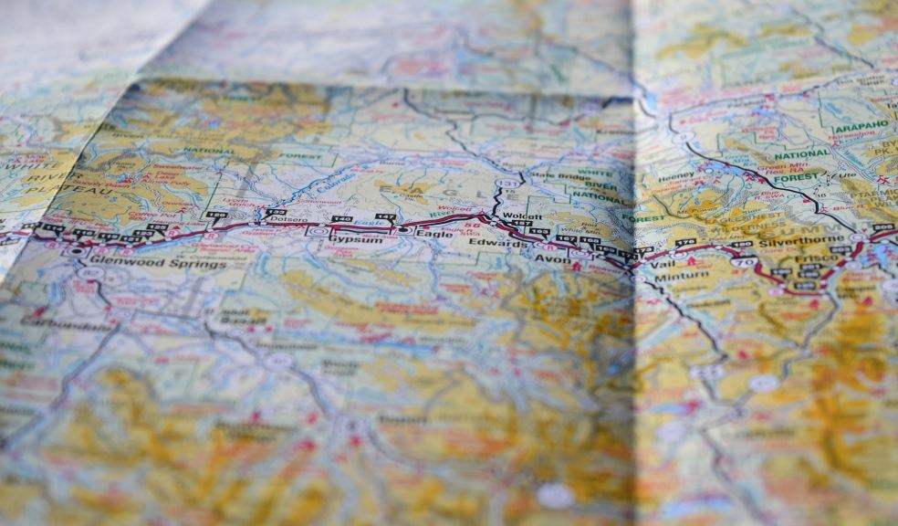
Environmental experts in the UK rely on proper mapping to evaluate landscapes, survey planning, and informed land management decisions. The information in an OS topographic map is not just geographical outlines; it gives a stratified overview of terrain, features, and human activity. To ecologists, conservation officers, and land managers, these resources are essential resources that form the basis of responsible management of natural spaces.
Supporting Ecological Surveys
An ecological survey will need a clear picture of the land under consideration. Topographical information indicates gradients, watercourses, vegetation boundaries and man-made structures, which all affect the distribution of habitat. Surveyors can identify regions of woodland, wetlands or grassland, and thus plan their route effectively and focus on areas most likely to contain specific species. Lacking this degree of detail, surveys may miss significant ecological niches or may lack sufficient ground coverage.
Guiding Conservation Strategies
Conservation of habitats and species requires a long-term perspective. Maps indicate wildlife movement corridors, areas prone to flooding and erosion. Conservation teams apply this knowledge to come up with interventions like planting trees, stabilising riverbanks or creating a buffer zone that is protected. With historical map data, one can follow the change in habitat over time, providing useful information on the success of conservation efforts.
Monitoring Water and Wetland Areas
Biodiversity depends on rivers, ponds and wetlands. Topographical mapping reveals the direction of drainage, elevation, and possible floodplains, which assists environmental teams in understanding how water will flow under various circumstances. Such knowledge is necessary to maintain aquatic habitats, rehabilitate degraded wetlands and avoid the loss of biodiversity associated with poorly managed water systems.
Managing Land for Sustainability
The balancing of agriculture, recreation and conservation involves a thorough knowledge of landform and use. Maps provide insights into slope gradients, soil type distribution, and accessibility, enabling land managers to designate areas for grazing, public access, or restoration. This balance in the rural areas favours economic activity and environmental health so that land can be used to benefit people without degrading it.
Assessing Risks to Wildlife and People
Landslides, unstable ground or flood risk are common hazards that are often taken into account during environmental assessments. Topographical maps show steep slopes, low-lying areas and areas that are likely to erode. This knowledge secures survey crews on the ground and guides mitigation strategies to preserve communities and ecologies. As an example, mapping may indicate where a proposed route may interfere with a nesting site or where infrastructure may increase the risk of flooding.
Enhancing Collaboration Between Disciplines
A shared spatial framework is useful in projects with multiple stakeholders, such as ecologists, engineers, planners, and local authorities. Maps provide a shared point of reference, making it easier for various experts to coordinate strategies. An infrastructure-laden conservation plan lets planners visualise the impact of transport schemes on natural habitats, and engineers can get a sense of where the ground might prove problematic to develop.
Recording Environmental Change Over Time
The rate of landscape change has increased due to climate change. The comparison between contemporary mapping and previous versions helps environmental teams to notice the movement of the coastline, the recession of forests, or the growth of cities. Recording such changes assists the research, policy and practical responses to environmental pressures. In the absence of such records, progress cannot be measured, and threats that may arise cannot be identified.
Mapping as a Foundation for Environmental Care
Topographical maps are invaluable to environmental teams in the UK because of their accuracy and flexibility. Whether it is directing ecological surveys or assisting conservation initiatives and sustainable land use, the data they deliver informs decisions based on a clear knowledge of the landscape. Scientific understanding paired with the practicality of mapping enables environmental professionals to be more responsive to the challenges facing them, safeguard fragile habitats, and wisely manage the land to be used by future generations. A topographic map is not merely a depiction of terrain but a basis of knowledgeable environmental stewardship.