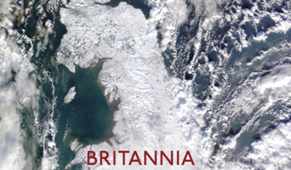
Academic reveals hidden Britain
Where is Cornwall on the map of Britain? It may be down in the bottom corner if you’re talking road maps or OS sheets, but that’s not the only way of thinking about the position of the county, according to a new book by a University of Exeter academic.
Britannia Obscura: Mapping Hidden Britain explores alternative ways of thinking about the shape of Britain. Where are its main highways if you’re a pilot, or a canal enthusiast, or a dowser in search of ley-lines? Where’s the centre of Britain if you’re a caver? Or one of Britain’s megalith hunters, in search of prehistoric stone rows and circles?
The book sets out to see the shape of Britain from different perspectives. The views of people like John Christian, a Dartmoor based ley-hunter whose interests focus on ley lines and energy paths within the landscape. Ley-hunters like him might think of Britain’s main arterial route as not being the M1 but the Saint Michael Line, a 350 mile long energy-current/prehistoric path that crosses the country diagonally from Cornwall all the way to Norfolk. Most people are accustomed to a North South cultural divide. But looking at the megalithic sites of Cornwall from the viewpoint of people interested in Britain’s prehistoric sites reveals an East-West divide instead.
Dr Joanne Parker, a Senior Lecturer in Victorian Literature, at the University of Exeter’s Penryn Campus explained: “The book’s aim is to remind us that there is no one, absolute map of Britain. There are countless ways of thinking about the shape of the country – alternative maps that draw different communities together, and which exist within the lines of our “official” maps. Although the book started out as being about the landscape, it ended up as a book about people, and the wonderful maps that exist in their minds.”
She added: “Britannia Obscura: Mapping Hidden Britain shows that our categories of rural and urban, centre and periphery, are all subjective – whether you live in Redruth or Redcar, you are always at the centre of somebody’s map.”
Britannia Obscura also traces alternative histories of Britain. How the shape of its underland was pieced together, starting at Pen Park Hole in Bristol. How its canal system emerged, and then disappeared back into the land from which it had been carved. And how its skies were first travelled.
Because Britain’s landscape is so richly layered with history, it’s a country you can never tire of exploring, according to Dr Parker who wrote the book after moving back to England from Canada. She explained: “At the time it felt like a move to somewhere small and entirely explored. But talking to people like Christopher Street, who traces ley-lines through the centre of London, made me realise that you can never exhaust the possibilities for discovery in Britain. There are countless maps of the country, waiting to be explored – maps of things that are forgotten or hidden. Even the most familiar places, where you work and live, can be endlessly rediscovered.”
Dr Parker will be discussing Britannia Obscura on BBC Radio Four’s Start the Week on 29 December with presenter Andrew Marr.


