Wild Exmouth is now on the map
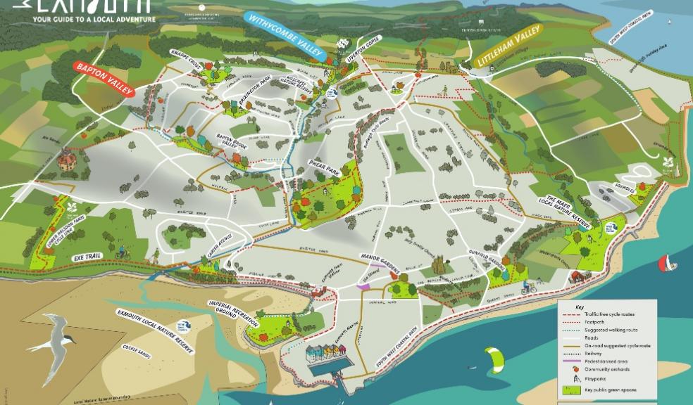
Households in Exmouth will receive their own map of the town that showcases the best of the outdoors. The maps will be delivered by Royal Mail by 24th April.
Wild Exmouth, a three year community nature project, has produced a wonderful map to highlight trails and cycle paths along with parks, nature reserves, play areas and community orchards.
Working with local designer, Jo Salter, a brilliant bird’s eye map has been created to give an inspiring view of the town. The map will be posted out over the coming weeks to every household in the town. You can also download the map and pick up copies from the tourist information centre.
Tim Dafforn, Wild Exmouth Coordinator and Countryside Team Leader, said: "We’re thrilled to be able to produce this innovative map to help residents in Exmouth to explore the wonderful environment of the town. The map includes much loved areas along with little known gems, highlighting the three valleys of the town and the amazing nature reserves and parks nearby."
Later in the summer the interpretation map will also be installed in key green spaces to give residents and visitors an ongoing view of the best of Wild Exmouth.
Look out for lots of exciting events this summer as Wild Exmouth continues to create new ways to enjoy the great outdoors.
Visit the website for more information eastdevon.gov.uk/countryside/wild-exmouth.
Follow @WildExmouth on facebook and twitter to find out more.
The Wild Exmouth project is funded by the National Lottery Heritage Fund, Exmouth Town Council, East Devon District Council and Devon County Council Locality Fund.


