


Why Satellite Imagery is Key to Accurate Cadastral Mapping and Large-Scale Land Cover Analysis
Accurate information about the land and its boundaries is critical for various purposes, from property ownership to resource management. Traditionally, creating such data required time-intensive field surveys and manual processes. Today, satellite imagery offers an efficient, precise, and versatile way to map land.
This article explores why satellite imagery is essential for cadastral mapping and large-scale land cover analysis, explaining its value in simple, practical terms.
What is Cadastral Mapping?
Cadastral mapping involves defining and documenting property boundaries. These maps are essential for legal purposes, ensuring accurate land ownership records and helping resolve disputes.
Historically, cadastral surveys relied on field measurements, which could be slow, expensive, and sometimes inaccurate. Satellite imagery has changed this by providing a faster and more accurate method to map property lines over large areas.
What is Land Cover Analysis?
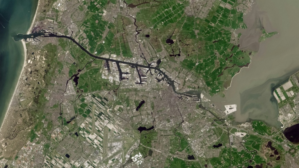
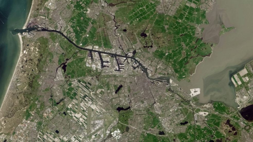
Land cover analysis focuses on understanding what covers the earth’s surface, such as forests, water bodies, urban areas, and agricultural fields. It is vital for environmental studies, urban planning, and resource management.
Traditional methods often required aerial surveys or on-the-ground inspections. However, satellite images now offer a way to observe and analyze large areas simultaneously, making the process much more efficient.
Why Use Satellite Imagery?
Satellite imagery provides clear, high-resolution images of the Earth from space. These images are accurate enough to map land boundaries and analyze surface features. The benefits of satellite imagery include:
- Wide Coverage: Satellites can capture large areas in a single image, making them ideal for studying expansive regions.
- Regular Updates: Satellites take images frequently, allowing for the monitoring of changes over time.
- Cost-Effectiveness: Compared to field surveys, satellite imagery reduces the costs associated with data collection.
- Accessibility: Data from satellites is available for almost every part of the world, including remote and inaccessible locations.
The Role of Satellite Imagery in Cadastral Mapping
For cadastral mapping, precision is critical. Property boundaries need to be clear and undisputed. Here’s how satellite imagery helps achieve this:
- Clear Boundaries: High-resolution satellite images can capture the exact location of physical features like fences, roads, and rivers, which often define property lines.
- Faster Mapping: Instead of spending weeks or months on field surveys, satellite images allow professionals to map boundaries within days.
- Conflict Resolution: When disputes arise over land ownership, satellite images provide visual evidence that is difficult to contest.
- Remote Areas: In places where field surveys are impractical, satellite imagery ensures even the most isolated areas are included in maps.
The Importance of Satellite Imagery in Land Cover Analysis
Land cover analysis is crucial for understanding the state of our environment and planning for the future. Satellite imagery makes this process more effective by:
- Monitoring Changes: Regular satellite images help track changes like deforestation, urban expansion, or shifts in agricultural patterns.
- Environmental Protection: By identifying areas at risk, such as regions prone to flooding or deforestation, governments and organizations can take timely action.
- Urban Planning: Satellite images provide planners with a clear view of urban growth, helping them make informed decisions about infrastructure and zoning.
- Resource Management: Satellite imagery helps monitor natural resources like forests and water bodies, ensuring sustainable use.
How Technology Enhances Satellite Imagery
Advances in technology have made satellite imagery more effective than ever before. Modern satellites offer:
- High Resolution: Today’s satellites capture extremely detailed images, making it possible to identify even small features like individual trees or structures.
- Multispectral Imaging: Satellites can capture images in different wavelengths of light, revealing details invisible to the human eye, such as vegetation health or soil moisture.
- Frequent Updates: Some satellites orbit the Earth multiple times a day, providing nearly real-time data for monitoring changes.
- Integration with GIS: Geographic Information Systems (GIS) allow for the analysis and visualization of satellite data, combining it with other information like population density or weather patterns.
- Satellite Image Processing: The use of advanced satellite image processing techniques further enhances the quality and usability of data, enabling precise analysis and decision-making for both cadastral mapping and land cover studies.
Challenges of Using Satellite Imagery
While satellite imagery offers many benefits, there are challenges to consider:
- Weather Conditions: Clouds and bad weather can obscure images, making it difficult to capture clear data.
- Data Costs: High-resolution images can be expensive, especially for private organizations or smaller projects.
- Processing Requirements: Interpreting satellite data requires specialized software and trained professionals.
- Ethical Concerns: Privacy issues may arise when high-resolution images capture sensitive information.
Despite these challenges, the advantages of satellite imagery far outweigh the drawbacks, especially as technology continues to improve.
Real-World Applications
Satellite imagery is already transforming how cadastral mapping and land cover analysis are conducted. Here are some real-world examples:
- Property Disputes: Governments in developing countries use satellite images to resolve disputes in areas where no official land records exist.
- Urban Growth Monitoring: Cities worldwide use satellite data to track urban expansion, plan infrastructure, and manage zoning regulations.
- Environmental Conservation: Organizations like the World Wildlife Fund use satellite images to monitor deforestation and protect endangered habitats.
- Agriculture: Farmers and agricultural planners analyze satellite data to optimize land use, monitor crop health, and improve yields.
The Future of Satellite Imagery in Mapping
The future looks promising for satellite-based mapping and analysis. New advancements include:
- Smaller Satellites: Miniaturized satellites, called nanosatellites, are reducing costs and increasing access to high-quality data.
- Artificial Intelligence: AI is being used to analyze satellite images faster and with greater accuracy, identifying patterns and changes that might be missed by the human eye.
- Real-Time Monitoring: As satellite technology improves, real-time monitoring of land changes will become more accessible, allowing for quicker responses to environmental or urban challenges.
Conclusion
Satellite imagery has revolutionized cadastral mapping and land cover analysis. Its ability to provide accurate, up-to-date, and wide-reaching data makes it indispensable for property management, urban planning, and environmental protection. While there are challenges, the benefits far exceed the limitations, offering an efficient and reliable way to map our world. As technology advances, the potential applications of satellite imagery will only grow, helping us better understand and manage the land we rely on every day.
By adopting satellite imagery, governments, organizations, and businesses can make informed decisions that lead to better outcomes for people and the planet. Whether it’s resolving a property dispute, planning a city, or conserving a forest, satellite imagery is proving to be a tool that no one can afford to overlook.