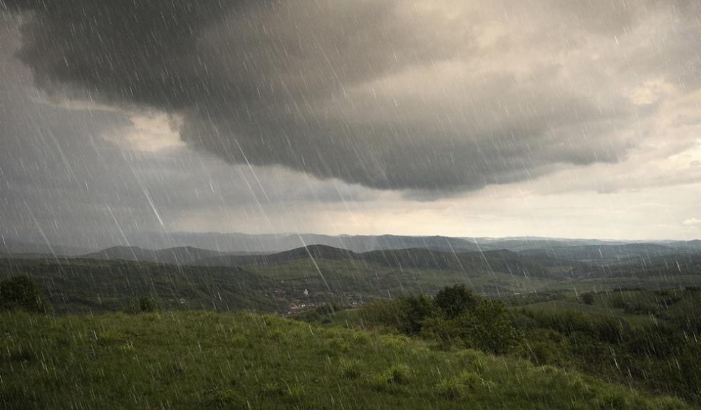
Storm Frank batters Devon
Storm Frank was this morning making itself felt in Devon with heavy rain and winds reaching speeds of more than 50mph battering the county.
Forecasters say that the downfalls will last throughout the day with the strong gusts abating by lunchtime.
Across the UK there are four severe flood warnings, indicating danger to life - three in Croston, Lancashire, which is braced for the second flood in a week.
A further 47 flood warnings, requiring immediate action, are in force in England and Wales and more than 60 in place in Scotland.
About 5,500 homes have been left without power in the north of Scotland.
In Northern Ireland, homes also experienced power cuts and air passengers were delayed.
Meanwhile, soldiers evacuated homes near a bridge in Tadcaster, North Yorkshire, after it collapsed, prompting fears of flooding and a possible gas explosion.
The five-day forecast for Devon issued by the Met Office is as follows:
Today:
Exceptionally windy with further heavy rain. The wind and rain will move slowly eastwards through the day, with showers to follow later. Mild, but feeling colder in the wind. Maximum Temperature 13°C.
Tonight:
The blustery showers, heavy at times, will continue tonight. They will ease towards dawn, becoming more confined the the east. Feeling cold in the wind. Minimum Temperature 5°C.
Thursday:
A dry, bright start for most however a band of heavy showers will move in from the west through the morning, with strong winds and possible thunder. Clearing again later. Maximum Temperature 12°C.
Outlook for Friday to Sunday:
A bright, frosty start to New Year's Day, with rain and strong winds later. Dull and damp for most Saturday, with heavy rain Sunday. Becoming mild but windy.


